Connect this guide with the rest of your visit in the Macao trip planner. Read how the research is made and what its sources establish.
At a glance
Start here
- Choose an urban garden, hill circuit or island trail before choosing a name.
- Use Guia Hill for landscape and heritage in one peninsula cluster.
- Reserve Taipa and Coloane trails for days already focused on the islands.
- Let current official weather and access notices override the plan.
01
Choose the outdoor format first
An urban garden gives a short restorative pause without requiring a dedicated transport plan. A hill circuit adds climbing, viewpoints and sometimes heritage. An island trail asks for a longer transfer and a clear return. Decide which of those jobs the outing needs to perform before comparing individual places. This prevents a gentle garden break from turning into an unplanned hike.
The tourism office lists gardens across the peninsula, Taipa and Coloane, while its recreation page identifies a wider network of trails concentrated mainly on Taipa and Coloane. Use those inventories to find candidates, then open the specific facility or route information. A category page proves that options exist; it does not prove that every path is open today.
- Urban garden: short pause within a sightseeing district.
- Hill circuit: elevation, city views and a longer walking block.
- Island trail: dedicated transport, route and return planning.
02
Use Lou Lim Ioc as an urban garden pause
Lou Lim Ioc Park is the strongest choice when you want a designed Chinese garden within the urban peninsula. The tourism office describes its nineteenth-century merchant-family origins and later restoration as a public park. Its value is in spatial detail: paths, water, planting, built elements and framed views at a scale that rewards a slow circuit.
Place it between Tap Seac, St. Lazarus or another nearby cultural stop rather than treating it as a remote attraction. Give the garden a question, such as how pavilions and paths reveal and conceal views. Check the current facility page before travel, especially if a particular pavilion or event matters, and accept a simple garden walk when programmed spaces are unavailable.
- Pair it with nearby cultural streets, not a distant island stop.
- Look at how paths shape changing views.
- Verify current facility access before relying on an interior.
03
Combine landscape and heritage on Guia Hill
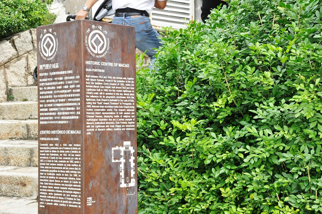
Guia Hill works when the group wants a climb or hill walk with a historical endpoint. The tourism office's St. Lazarus route links the hill with the district's creative streets and identifies access through the Flora Garden side. At the summit, the fortress, chapel and lighthouse connect the landscape to Macao's military, missionary and maritime history.
Do not treat every feature as equally accessible. The official World Heritage page identifies the lighthouse as not open to the public and publishes current visitor information for the fortress and chapel. Check that page before setting expectations, then use the hill itself to read Macao's dense urban form and water relationships. Visibility and comfort depend on the day's conditions.
- Approach through a mapped public route.
- Check the World Heritage page for current site access.
- Use the view to connect topography, water and urban growth.
04
Choose Taipa for an island hill perspective
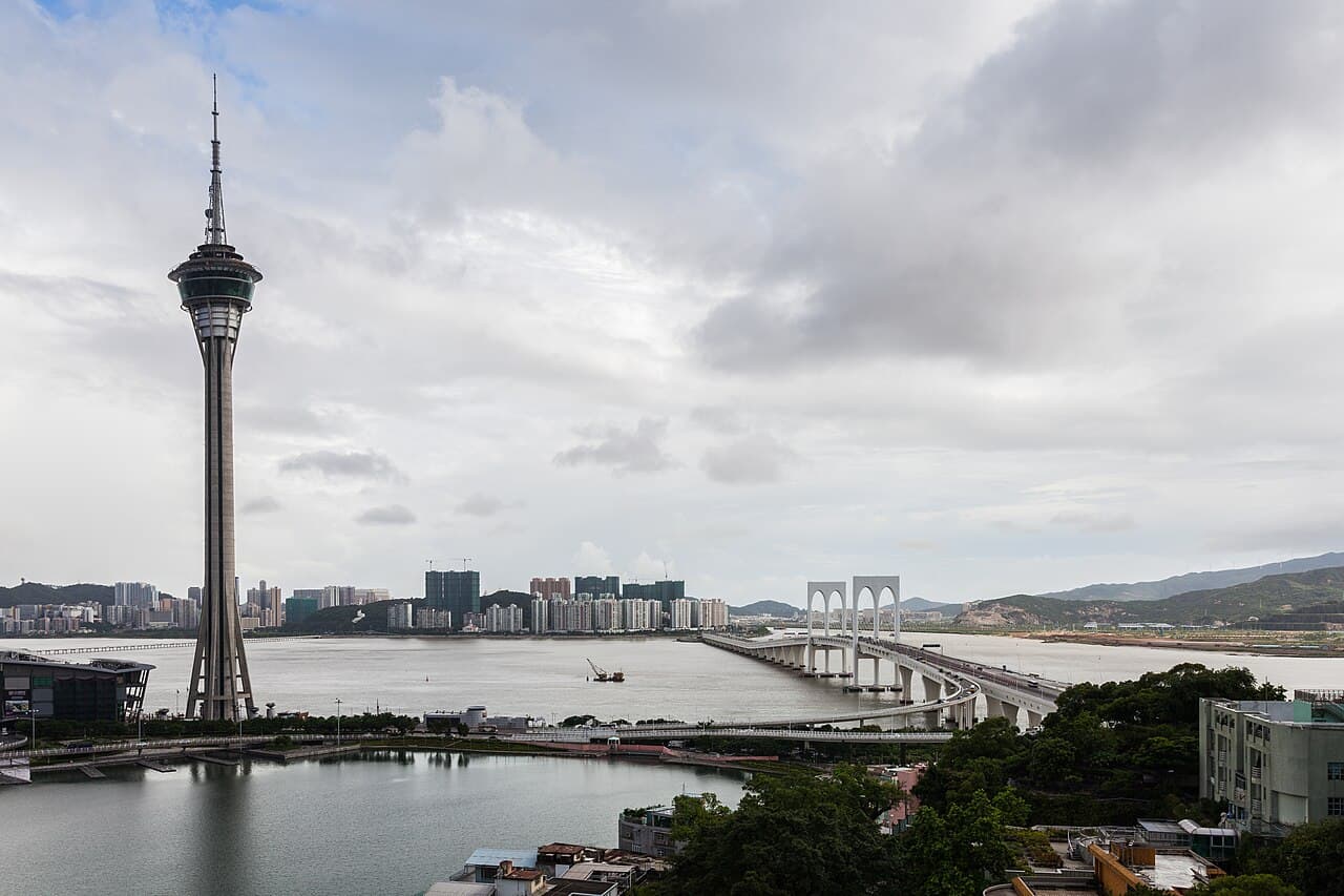
Taipa's green options work best as part of a Taipa day. The tourism office lists Taipa Municipal Garden above the older village and identifies trails elsewhere on the island. That elevation changes the view from intimate lanes to the larger relationship among Taipa, the peninsula and newer development. It also changes the physical demand, so keep the village and hill as separate modules.
A group that wants a garden view can stay near the municipal garden and Taipa Houses. A group seeking a trail should use the official trail information to choose a mapped route and verify its current status. Do not infer a route from a viewpoint visible on a general map, and do not add a hill loop immediately before a fixed museum or departure commitment.
- Keep the garden module close to Taipa Village.
- Use a published trail route for a longer walk.
- Choose either the hill or extra village stops when time is limited.
05
Treat Coloane trails as a dedicated outing
Coloane holds Macao's broadest concentration of wooded slopes, country-park settings and coastal walking possibilities. The tourism office's recreation page points visitors to the official trail network and distinguishes trails from beaches and other sports facilities. Choose one named, published route rather than trying to improvise a connection among the village, shore and hill.
Begin with transport and return planning. Save the exact starting point, the official route information and the stop for the journey back. Decide whether the day's main purpose is a trail or Coloane Village; combining both fully can turn a slower southern day into a race. A short village walk is the better fallback if official notices or weather make the trail unsuitable.
- Use one named route from the official trail information.
- Save the start and return stop before travelling south.
- Keep Coloane Village as a separate or fallback module.
06
Make official weather the go-or-change gate
Seasonal averages are not the decision tool for a particular hill or trail day. Open the Meteorological and Geophysical Bureau's current forecast and warnings, then check the facility or operator notice. Wind, heavy rain, heat, tropical-cyclone signals and recovery work can change what is reasonable or open. This article does not set thresholds beyond those issued by the responsible authorities.
Prepare a nearby indoor or urban alternative before departure. For Guia, that could be a St. Lazarus cultural stop or museum; for Taipa, the island-history museum; for Coloane, a short public village circuit if conditions and official notices permit. If authorities close a site or advise against the activity, change the plan rather than searching for an unofficial entrance.
- Check the official forecast and warnings on the day.
- Check the route or facility notice separately.
- Use the prepared alternative when access or conditions change.
07
Build one urban plan and one island plan
An urban green half-day can link Lou Lim Ioc Park, Tap Seac or St. Lazarus streets and the lower part of Guia Hill, with the summit optional. The route combines designed garden space, creative streets and elevation without crossing the territory. Keep a museum or gallery as the alternative and confirm each institutional stop separately.
An island green half-day should choose Taipa or Coloane, not both by default. Taipa can combine a garden or mapped hill route with the older village. Coloane can combine one published trail with a simple meal or brief village walk. Recheck transit, route status and weather before leaving; remove the extra module first if time or energy narrows.
- Urban plan: garden, cultural street and optional hill.
- Island plan: one mapped trail plus one compact local module.
- Drop the optional module before shortening the core route.
Useful answers
Reader questions
What is the easiest kind of green space to add to a Macao day?
Choose an urban garden already near your route. Lou Lim Ioc Park fits a peninsula cultural day, while Taipa Municipal Garden fits a Taipa Village day. Check the current facility information before relying on a specific interior or event.
Sources: Macao Government Tourism OfficeIs Guia Hill only a viewpoint?
No. It combines a hill landscape with the World Heritage-listed fortress, chapel and lighthouse complex. The lighthouse is not open to the public, so check the official heritage page for current access to the parts visitors can enter.
Sources: Cultural Affairs Bureau; Macao Government Tourism OfficeWhere are Macao's longer trails?
The tourism office says the trail network is concentrated mainly on Taipa and Coloane. Use its recreation page to reach current official trail information, then choose one named route and verify status before travel.
Sources: Macao Government Tourism OfficeHow do I decide whether to walk outdoors today?
Check the Meteorological and Geophysical Bureau's current forecast and warnings plus the responsible facility or trail notice. Those official sources, not a seasonal summary in an article, should control the decision.
Sources: Macao Meteorological and Geophysical Bureau; Macao Government Tourism OfficeRead the evidence
Sources and further reading
These sources support the relevant sections above. Plans and comparisons are editorial suggestions. Check operators for current arrangements.
- Gardens ↗Macao Government Tourism Office · Research date 14 September 2026
Official descriptions and geographic context for urban gardens and parks across the peninsula and islands.
- Art and Cultural Tour in St. Lazarus Parish ↗Macao Government Tourism Office · Research date 14 September 2026
Official route context linking St. Lazarus, Flora Garden access and Guia Hill.
- Sports and Recreation ↗Macao Government Tourism Office · Research date 14 September 2026
Official trail-network overview, its concentration on Taipa and Coloane, and links to route information.
- Guia Fortress, Chapel and Lighthouse ↗Cultural Affairs Bureau · Research date 14 September 2026
Official history, component roles and visitor-access distinction for the Guia complex.
- Meteorological and Geophysical Bureau ↗Macao Meteorological and Geophysical Bureau · Research date 14 September 2026
Current official forecasts and warnings that should govern outdoor decisions.